-

·
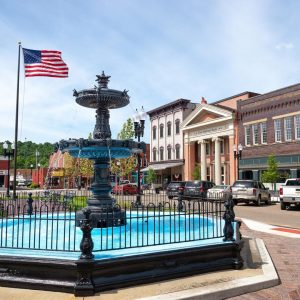
Mid-Ohio Valley group blends religion, politics to affect policy in Ohio and West Virginia
From the Tea Party to Trump, the MOVCAC mixes religion and politics to inform its members’ activism.
-

·
Photo gallery: ‘Divest from Death’ protest
The Athens Justice Coalition launched its “Divest from Death” campaign on Wednesday, Feb. 26 with a protest outside Cutler Hall on Ohio University’s campus.
-

·
Former auditor’s office employee pleads guilty to felony charges
A former Athens County Auditor’s office employee has pleaded guilty to two third-degree felony charges as part of an agreement with the Athens County Prosecutor’s Office.
-

·
Open house showcases proposed neighborhood corridor overlay zones
The city is involving the public early in their new planning project, which would add specific code requirements to guide future development in certain neighborhoods.
-

·
Stimson Avenue bridge repairs skyrocket
New cost estimates nearly double Athens’ share of updating the bridge — which is now triple the amount estimated in 2023.
-

·
Developer drops zoning request, but zoning ordinance remains in limbo
Following neighborhood opposition, Spire Development withdrew its request to rezone 8 acres on Pomeroy Road for an affordable housing project.
-
·
Nelsonville council membership fight goes back to appeals court
The Ohio Supreme Court said the appeals court erred in dismissing the case on grounds that the plaintiffs waited too long to file suit.
-

·
Board of elections certifies all primary candidate petitions
Athens City Council Ward 1 has three candidates; four will vie for three at-large seats, including two incumbents. In Nelsonville, only one candidate will run in the primary for seven available city council seats.
-

·
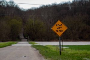
Out of harm’s way: Building to comply with floodplain regulation
Ohio University and the city of Athens planned construction projects with updated flood maps in mind, years before the new maps were released.
-
·
New flood maps have major implications for small Athens County communities
The Federal Emergency Management Agency’s flood risk maps determine who has to carry flood insurance as well as the location and extent of new development.
