
ATHENS, Ohio — About 50 people attended a June 11 meeting to discuss the future of Columbus Road, Lancaster Street and Columbia Avenue.
The meeting at the Ohio Valley Museum of Discovery was hosted by the City of Athens Planning Commission, which drafted plans to rezone and develop the area.
Members of the commission are Mayor Steve Patterson, Service-Safety Director Andrew Chiki, Christine Knisely and John Kotowski.
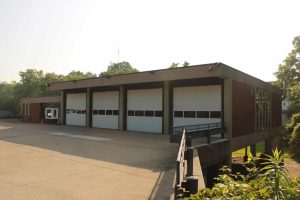
The ideas for the plans were born when a business looked into relocating to the old fire station, which wasn’t zoned for commercial use. The company moved on, and the city is considering using the old station for law enforcement storage.
But the business’ interest got the planning commission thinking about rezoning to make room in the area for a commercial hub.
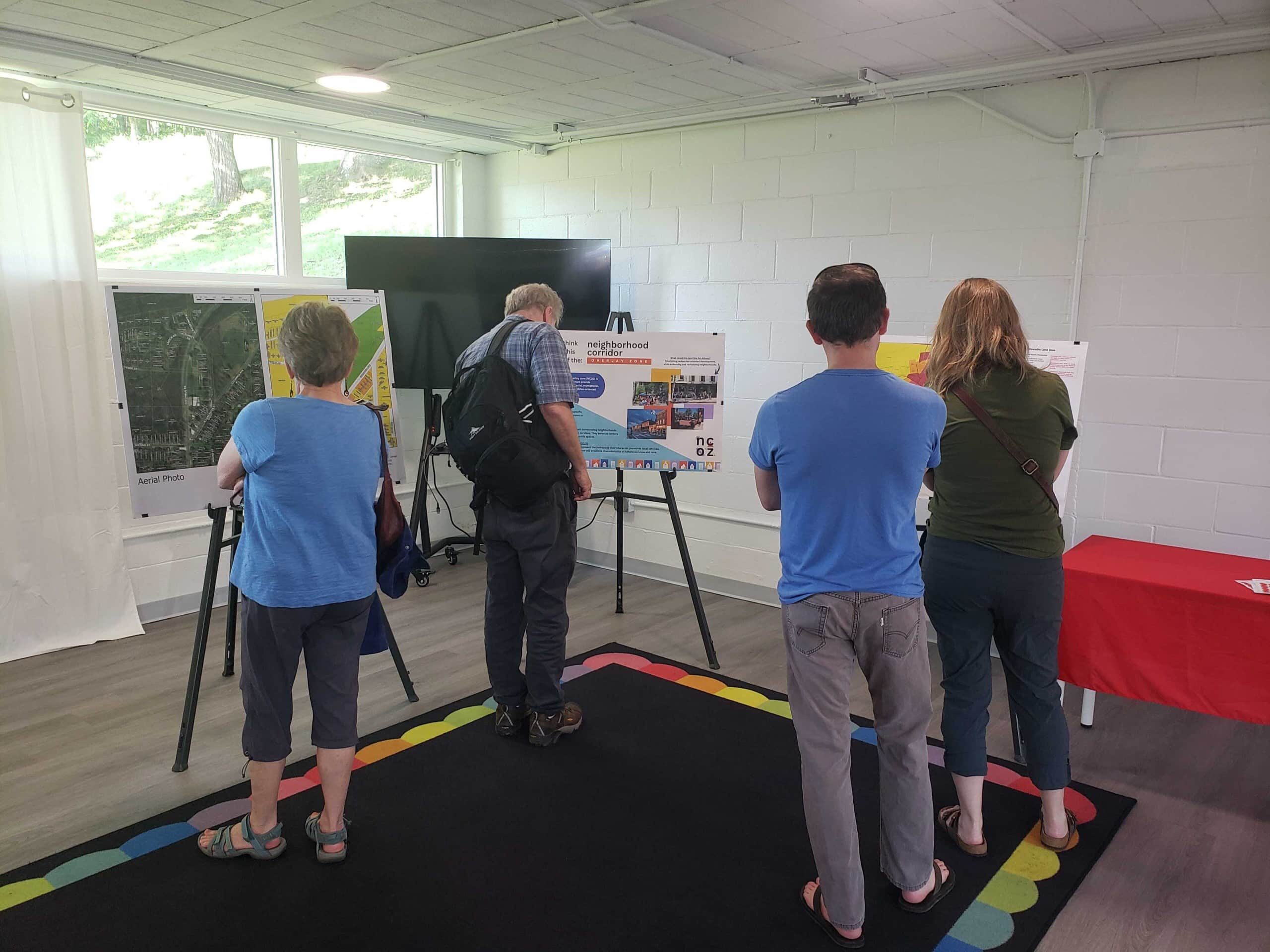
Currently, the Columbus Road, Lancaster Street and Columbia Avenue area is mostly R-1 and R-3, meaning it is only designated for single-family and multifamily residences, respectively. The drafted plans would change some of those zones into commercial zones.
Commercial zones are organized into B-1, B-2, B-2D, and B-3 zones, each allowing for different levels of business use.

Screenshot of current city zoning map. Currently, the Columbus Road, Lancaster Street and Columbia Avenue area is mostly R-1 and R-3, with two small commercial zones.
City Planner Meghan Jennings said she hopes the zoning changes could “set up a structure for future growth and development, based on what the neighborhood would like to see.”
“Changing the zoning does not force people out of their homes,” Jennings said in an email. “Any future development of a residential property with new zoning would be required to be in compliance with the allowable land uses in the new zone.”
If rezoned, Jennings suggested retail stores and restaurants could move within walking distance of the neighborhood.
Kotowski hopes to make a transitional zone in the neighborhood between commercial and residential zones. Currently, there is a small commercial zone — site of a former Dairy Queen, at 70 Columbus Road — right in the middle of an R-1 zone.
“What was proposed to the community was to make that an R-2 property … to kind of be a buffer for the residential,” Kotowski said.
Maps around the room at the public hearing displayed the draft of the proposed zoning map and ideas for businesses.

Residents offer input
Some of the residents who attended the public hearing expressed wariness of the proposed changes.
Ellen Kroutel’s house is proposed to change from R-1 to R-2 in the drafted plans.
“The plans they have just aren’t appropriate for this neighborhood,” said Kroutel, whose home would be amongst the proposed commercial hub.
Kroutel and Valerie Worthy pointed out there are about nine currently unused buildings in the neighborhood area that could be used for commercial purposes.
Mary Street resident Candida Stamp would like more commercial development because there aren’t any other businesses within walking distance.
The first test of commercial business in the neighborhood was the now-closed Dairy Queen, which had a drive-through on Sunset Drive.
Kroutel said Dairy Queen’s drive-through traffic caused problems for residents trying to reach or exit their homes.
“Dairy Queen went in before most of the city’s zoning code was effective, and at that time, the Dairy Queen was allowed to operate in that zone,” said David Riggs, city code enforcement officer.
Since the property hasn’t been used in a year, a new business wouldn’t be able to use the drive-through, according to city code.
However, the current planning commission draft would allow the drive-through to be used, which some residents spoke out against.
Audrey Larrimer supports infrastructure development, but worries about the lack of sidewalks.
“Without significant input to our infrastructure to increase pedestrian access, it seems like increasing density would make it less pedestrian-friendly,” Larrimer said.
City planner Jennings said that more businesses means more city tax revenue to fund infrastructure such as sidewalks.
Athens City Council recently approved plans for a shared-use path extending from the New-to-You Thrift Shop, 90 Columbus Road, to the Marietta Memorial Hospital facility at 206 Columbus Road.
After the meeting, Jennings said she was glad to have gotten so much input from the residents.
If all operations go as planned, a zoning map change could be approved by the city council by September, Kotowski said.
“A map will come back as a communication to the planning commission, and then if everything goes, like, smoothly, two weeks later, we’ll vote on it, and … we’ll basically make a recommendation to send this to city council for consideration, and they would have to adopt the changes,” Kotowski said.
Once the zoning change has been presented to the city council, there will be a public hearing and three readings. The chair of the Planning & Development Committee will schedule the formal public hearing. On the last reading, the city council will vote on the new zoning map.
However, City Councilmember Jessica Thomas said in an email the change may not be approved by Sept. 1, because the city council will be on break in July.
To comment on the plans or ask for more information, the public can email City Planner Meghan Jennings.
To read more about city zoning regulations, residents can view the city’s code of ordinances or visit its website.
Renae Hefty is a junior at Ohio University. Hefty is a summer 2025 intern at Athens County Independent, with support from the Nonprofit Newsroom Internship Program created by the Scripps Howard Fund and the Institute for Nonprofit News.